


GIS Land Development Application
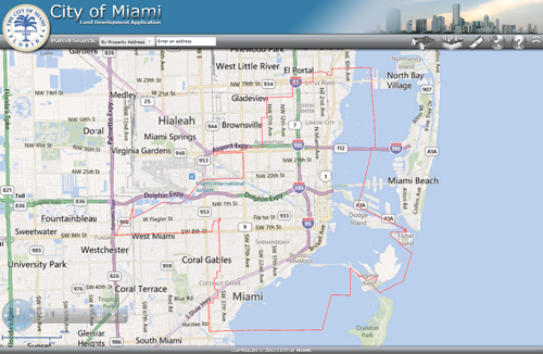
The Planning Department is pleased to introduce the improved GIS Land Development application, which provides real estate data on properties within the City of Miami. Refinements and improvements to the application provides users with a variety of visual layers such as Miami 21 zoning designations, Future Land Use designations, Historic Preservation layers, NET Area, and Commission Districts. The application also provides real estate data as well as applicable zoning regulation information for each property.
The Planning Department staff is ready to assist the end user to navigate through this system. If you encounter any difficulties during the search process, please contact the Planning Department at 305-416-1400 for further guidance. We welcome your comments and suggestions to help improve our services.
Start the GIS Land Development Application
For a short tutorial on how to use the GIS Land Development Application, please watch the video below:
 The updated Geographic Information Systems (GIS) Land
Development application
The updated Geographic Information Systems (GIS) Land
Development application


